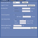
This is my very first commercial work project – and it’s being sold worldwide. The main program was designed and coded from scratch using C++/CLR and C#; there is also a product activation module done using ASP.Net WebService.
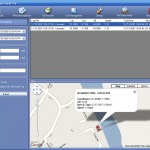
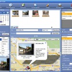
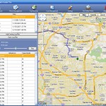
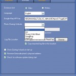
Screen Shots:
Technical Features:
- Geotag JPEG images by examing the image’s Exif properties and compare it against GPS positions collected by a dedicated hardware
- Embed Google Map with Google Map API in the Windows application host
- Interact between Google Map javascript and the host Windows application through custom events & delegates
- Inter-op between native Windows API and .Net framework for communicating with GPS data logger hardware, including retrieve GPS data points collected by the device, and configure various recording settings on the hardware
- Analyze GPS location points to determine discontinuity between GPS tracks
- Reduce route drawing complexity and google map javascript loading time by using various line simplification and points reduction algorithm
- Integrates various web services API for additional functions including reverse-geocode and photo upload with location data
- Product activation modules coded using ASP.Net WebService
- Pro version features RAW image format reading
Media & Press Coverage

